West Coast Maps
Primary Maker
Byron Drury
This is one of the
archival records
in our collection.
Object Detail
Description
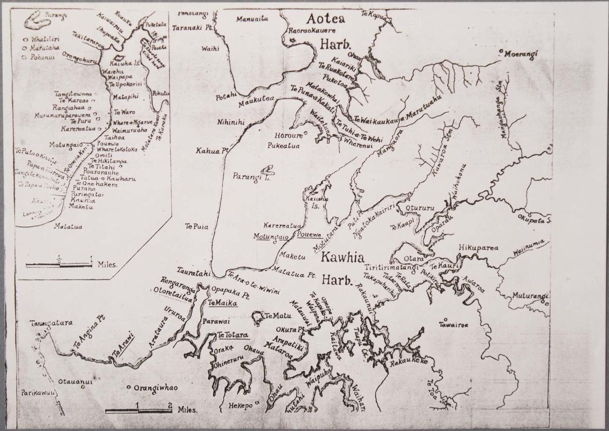
2 maps of the North Island west coast:
a) Photocopy of a map of the area between Manukau Harbour and Cape Egmont, including Aotea Harbour and Kawhia. Surveyed by Commander B. Drury, 1849-1851;
b) Map of Kawhia and Aotea Harbours.
a) Photocopy of a map of the area between Manukau Harbour and Cape Egmont, including Aotea Harbour and Kawhia. Surveyed by Commander B. Drury, 1849-1851;
b) Map of Kawhia and Aotea Harbours.
Primary Maker
Byron Drury
Accession No
M62
Current Rights Read terms of use
Classification
Share
Many of the collection images are protected by copyright. For queries about permission to use images, please contact museum@waipadc.govt.nz.