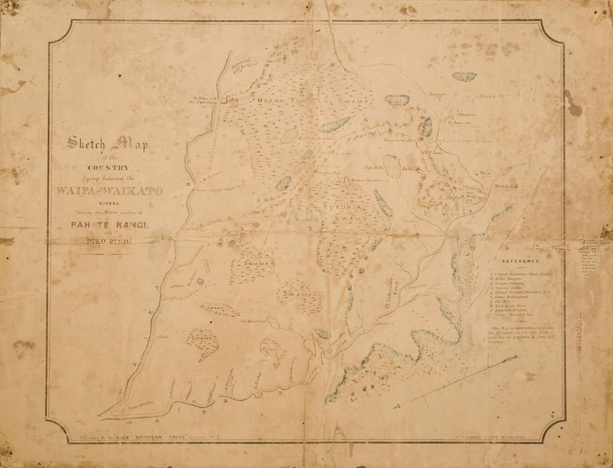
Sketch Map of the Country Lying Between the Waipa and Waikato Rivers Shewing the Maori Positions of Pah Te Rangi and Pikopiko
Primary Maker
The Daily Southern Cross
Production date
Circa 1864
This is one of the
archival records
in our collection.
Object Detail
Description
Original map of Paterangi and Pikopiko, published by the Daily Southern Cross c1864.
Primary Maker
The Daily Southern Cross
Primary Prod Date
Circa 1864
Accession No
M153
Current Rights Read terms of use
Classification
Part of 1 highlight set

Share
Many of the collection images are protected by copyright. For queries about permission to use images, please contact museum@waipadc.govt.nz.